

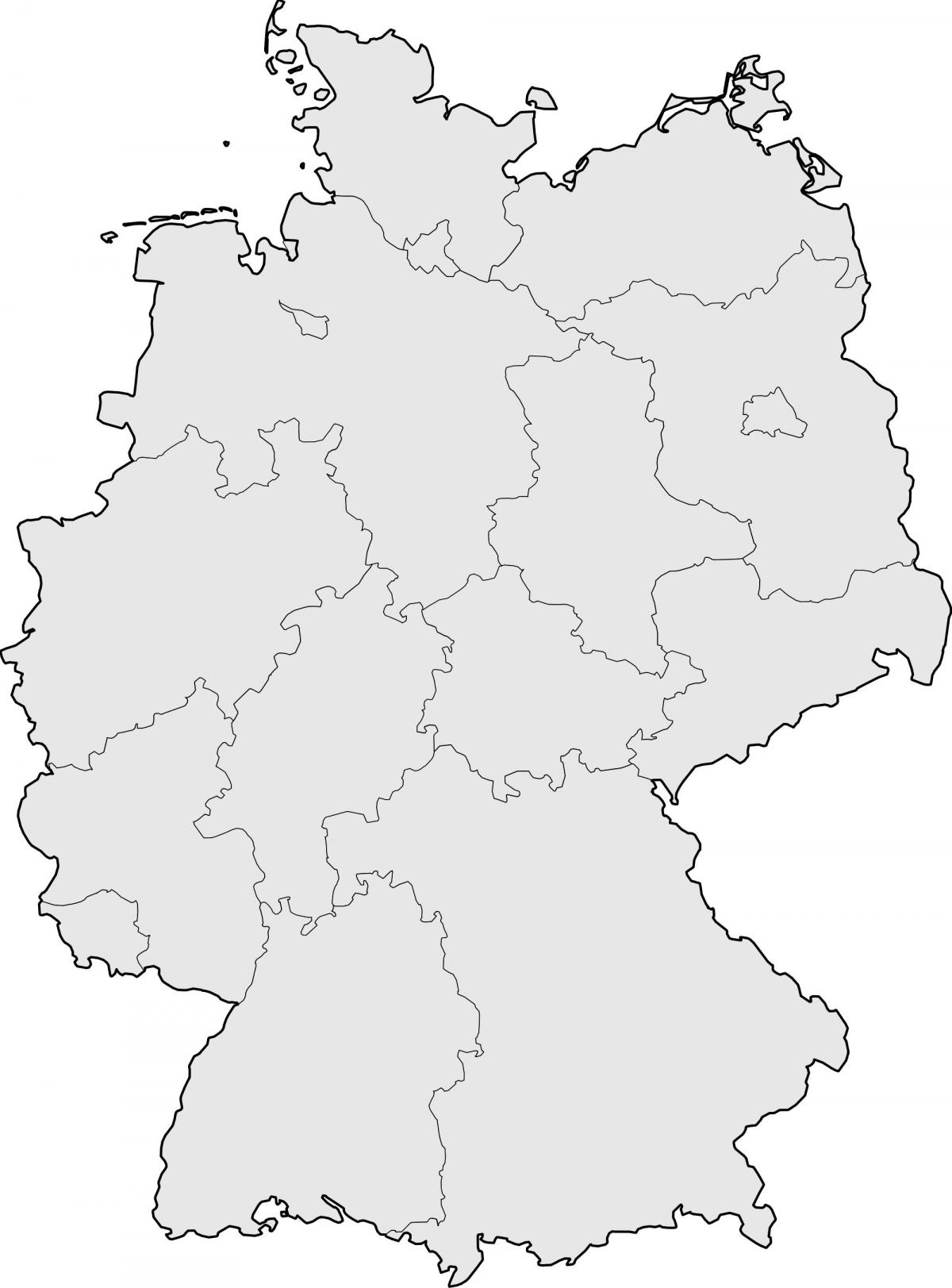
You can find on this page the blank map of Germany to print and to download in PDF. The contours map of Germany presents the international boundary of Germany in Europe. You can use the vector map of Germany for personal or educational use.

The blank map of Germany shows the country Germany empty. This blank map of Germany will allow you to use the map for personal activities or educational with children for example (drawing). The empty map of Germany is downloadable in PDF, printable and free.
Because of its central location, Germany shares borders with nine European countries, second only to Russia: Denmark in the north, Poland and the Czech Republic in the east, Austria and Switzerland in the south, France in the southwest and Belgium, Luxemburg and the Netherlands in the west as its shown in the Blank map of Germany.
Germany has a total of 2,389 km of coastline, and borders totalling 3,621 km (clockwise from north: Denmark 68 km, Poland 456 km, Czech Republic 646 km, Austria 784 km, Switzerland 334 km, France 451 km, Luxembourg 138 km, Belgium 167 km, Netherlands 577 km). The German-Austrian border crosses itself near Jungholz. The border with Belgium includes 5 German exclaves as its mentioned in the Blank map of Germany because the Vennbahn railway is on Belgian territory crossing in and out of Germany.
The blank map of the country of Germany has been cleaned and optimized for web use. Features include: Simplified to load quickly with minimal loss of detail (99.6 KB). License: Free for Commercial and Personal Use (attribution appreciated). All administrative regions are identified by name and id in the source code. Uses the beautiful Mercator Projection.
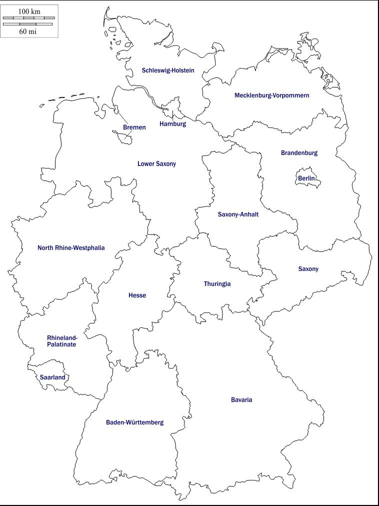
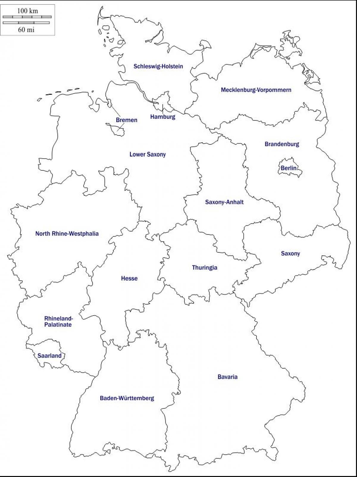
The Germany map outline shows all the contours and international boundary of Germany. This outline map of Germany will allow you to easily learn about neighboring countries of Germany in Europe. The Germany contours map is downloadable in PDF, printable and free.
Germany - Länder or states as you can see in Germany map outlines are: Baden-Württemberg - Bavaria - Berlin - Brandenburg - Bremen - Hamburg - Hesse - Lower Saxony - Mecklenburg-Vorpommern - North Rhine-Westphalia - Rhineland-Palatinate - Saarland - Saxony - Saxony-Anhalt - Schleswig-Holstein - Thuringia.
The outline map of Germany depicts the international borders of the country. The outline borders of Germany as its shown in the map are as follow: France, Switzerland, Austria, Czech Republic, Poland, Netherlands, Belgium and Luxemborg all share their borders with Germany. Germany map outlines also mention the State Boundaries.
Germany map outlines broken down by administrative districts includes surrounding countries, in color with district names and capitals, editable objects. Administrative districts are individual objects that can be colored as you can see in Germany map outlines, and changed so you can build a regional territory map.

The vector map of Germany shows entire surface of Germany empty. This vector map of Germany will allow you to make changes or add details to the map of Germany in Europe, for personal or educational purposes. The vectorial map of Germany is downloadable in PDF, printable and free.
With its irregular, elongated shape as its shown in Germany map vector, Germany provides an excellent example of a recurring sequence of landforms found the world over. A plain dotted with lakes, moors, marshes, and heaths retreats from the sea and reaches inland, where it becomes a landscape of hills crisscrossed by streams, rivers, and valleys.
Geography vector illustration of a map of Germany mention a clear outlines of the national borders, separate areas illustrated with the major cities and states. Germany free vector map allow you to use in all geography, politics, national borders, travel, journey or tourist guide design or students projects.
Printable map (JPEG/pdf) and editable vector map of Germany showing country outline and flag in the background. This map is a free download. The package contains all available file formats, normally delivered with our premium maps, both for the printable and editable option. Printable file formats: XL JPEG (6000px wide) and non-layered PDF. The non-layered PDF is the map in vector format, but without layers. This means you can scale this map to any size you want, without losing any quality. Editable vector file formats: Adobe Illustrator AI CS3, Adobe Illustrator EPS CS3 and Adobe Illustrator PDF.